Back
Similar todos
Load previous page…
added map location database schema and models  #zeropercent
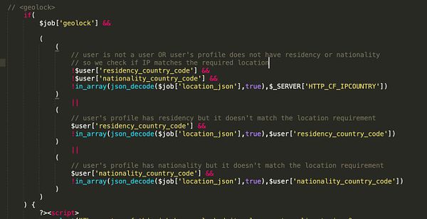
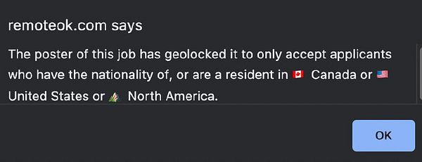
make geolock based on user residency or nationality before falling back to GeoIP via @cheepo2109  #remoteok
create ontology to create LOD of the geo preprocessed files (not tested)
Properly display undetected geo data  #askuser
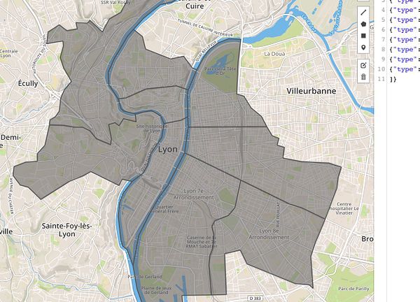
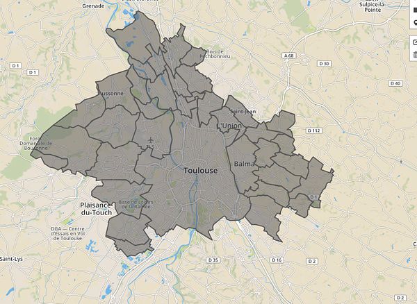
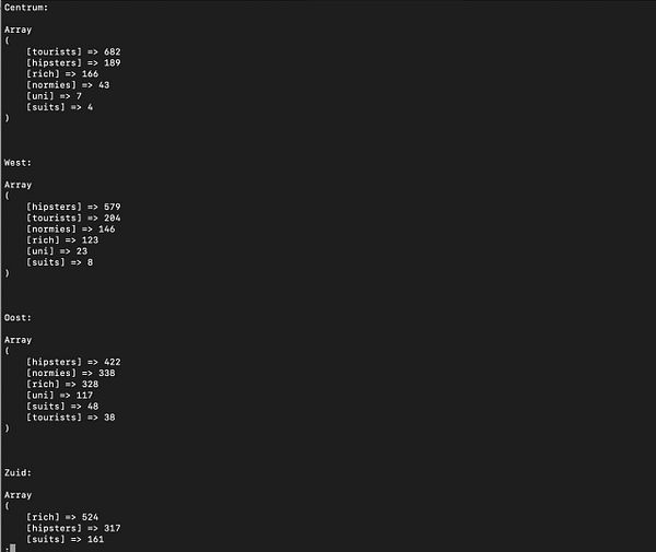
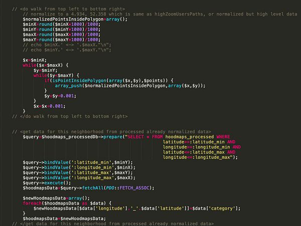
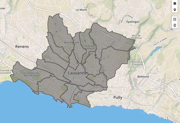
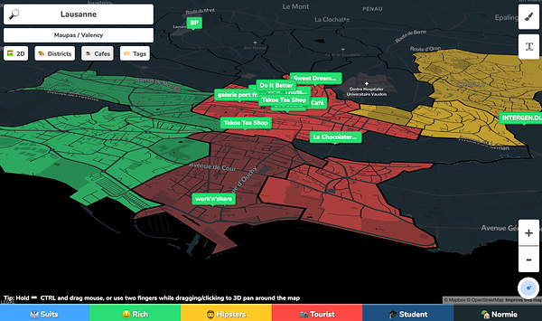
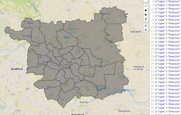
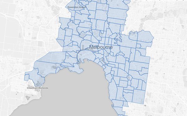
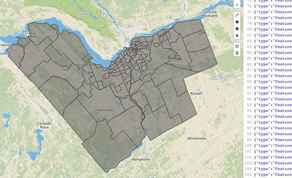
build robot that goes over all neighborhoods in GeoJSON as polygons, and walks through each polygon as a square, then checks if each point is inside polygon, then normalized the GPS coordinate and finds the matching category (like hipster) in the  #hoodmaps normalized pre-processed db, then it saves all points and categories inside neighborhood polygon and finds the most common one (e.g. rich) and names and colors the GeoJSON of that neighborhood as that value (thanks @marckohlbrugge @jelmerdeboer)
Filter Neighbourhoods by City Zone in Buildings form  #blueprint
gallery GEO, KZ, KG, LB, RKS  #ryce
#ryce
research w3c geolocation
added geocoding to map  #skillmap
