Back
Hoodmaps
Load previous page…
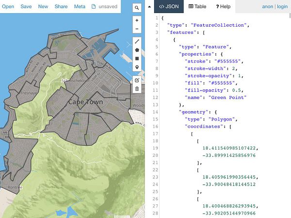
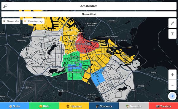
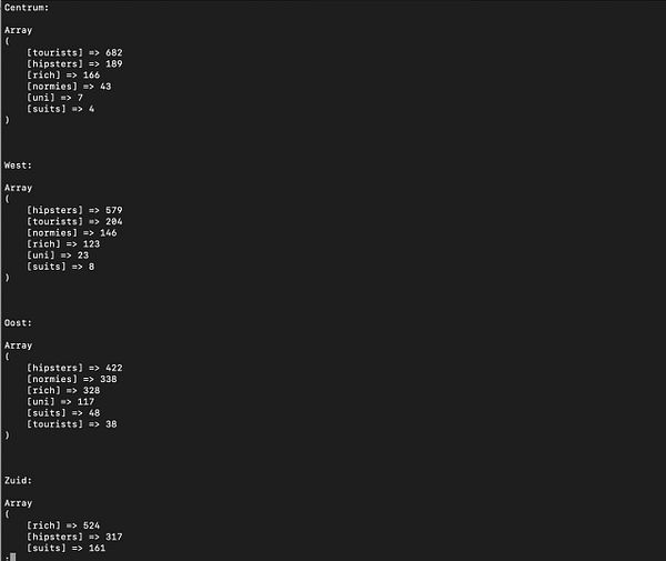
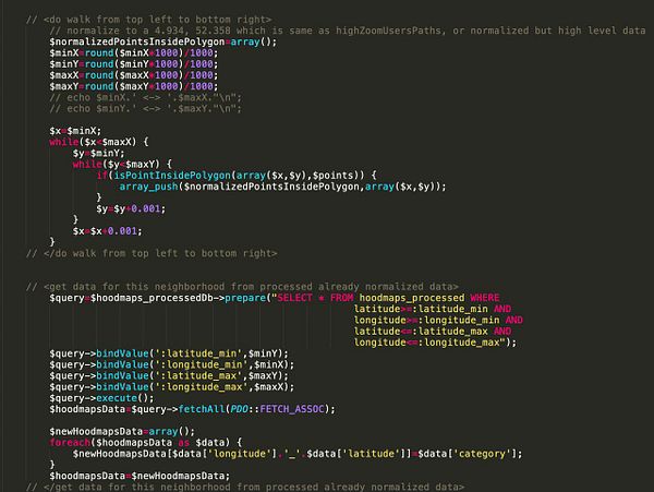
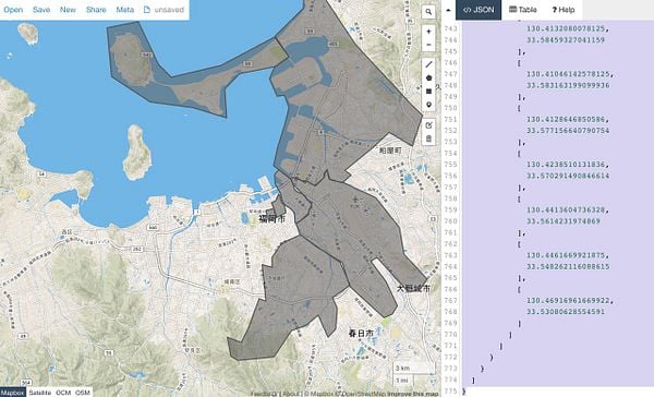
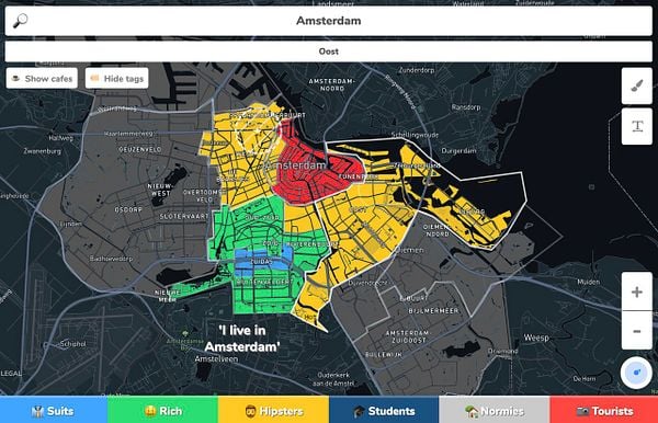
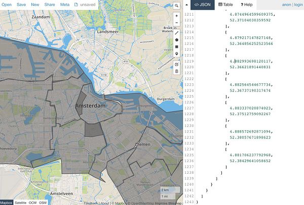
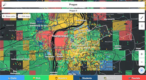
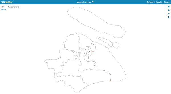
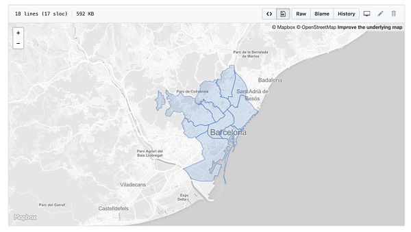
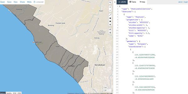
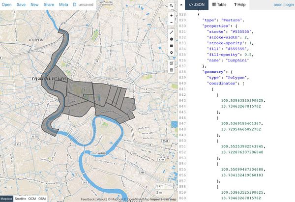
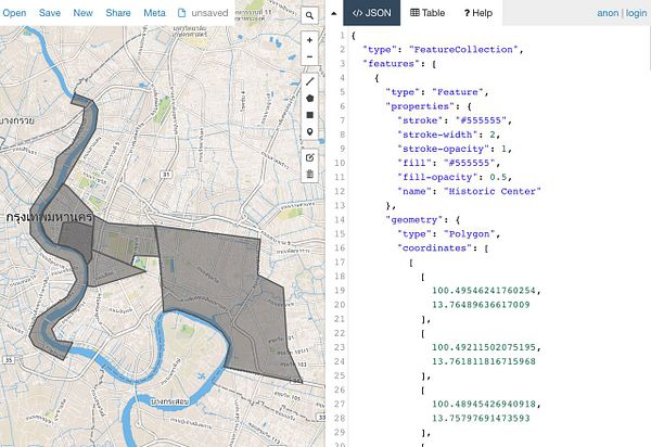
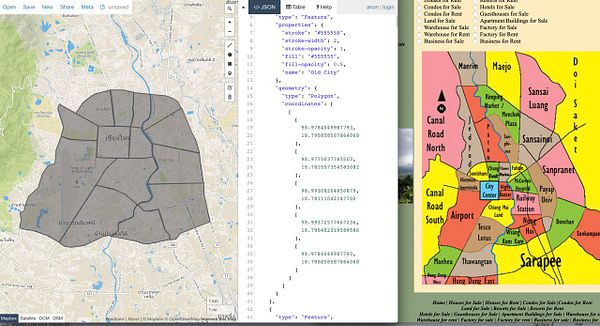
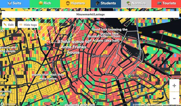
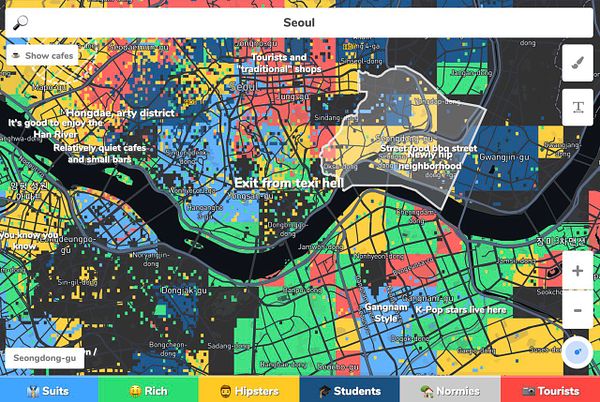
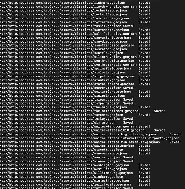
build robot that goes over all neighborhoods in GeoJSON as polygons, and walks through each polygon as a square, then checks if each point is inside polygon, then normalized the GPS coordinate and finds the matching category (like hipster) in the  #hoodmaps normalized pre-processed db, then it saves all points and categories inside neighborhood polygon and finds the most common one (e.g. rich) and names and colors the GeoJSON of that neighborhood as that value (thanks @marckohlbrugge @jelmerdeboer)
