Back
Hoodmaps
Load previous page…
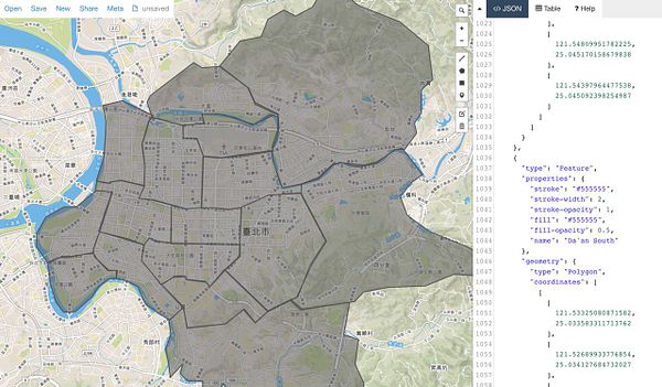
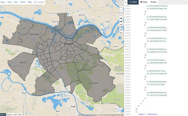
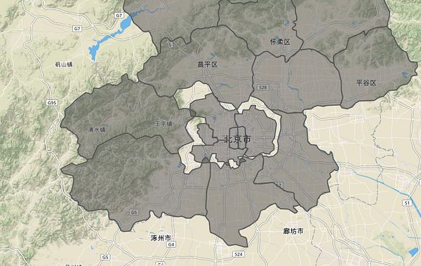
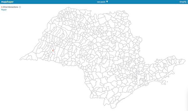
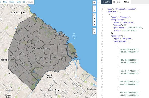
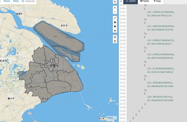
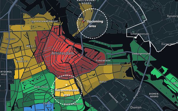
remove Recommended Area for cities without GeoJSON districts because robot doesn't know where the sea is then  #hoodmaps twitter.com/shridhargupta/sta…
We're a group of makers shipping together. We help each other stay accountable and reach our goals.
Join now