Back
Hoodmaps
Load previous page…
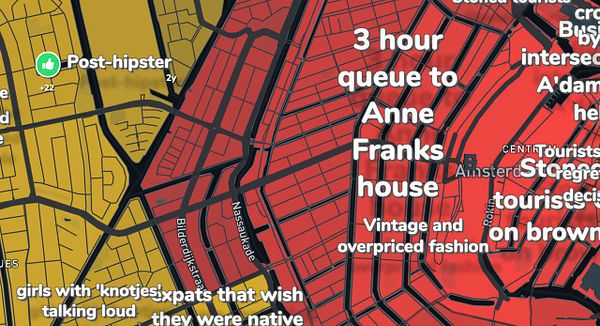
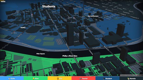
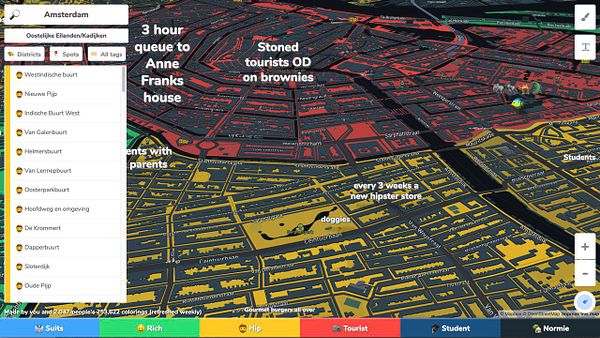
build new clusterTags() function that uses a grid stuck to the map to cluster by using offset of top [0,0] pixel coordinates as lngLat when drawing the tags first, then using that as offset on the cluster grid, so the tags don't flicker around when moving map anymore  #hoodmaps
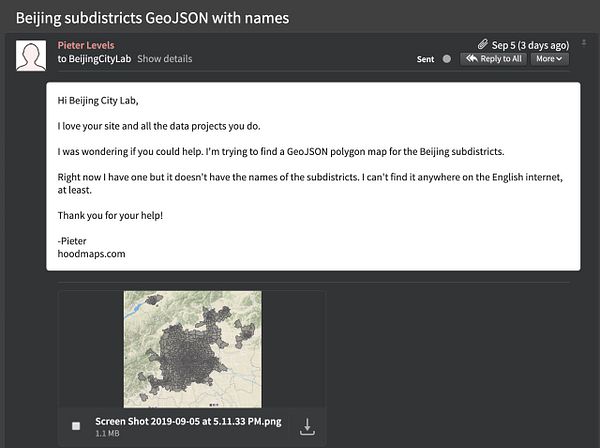
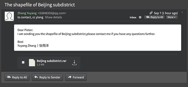
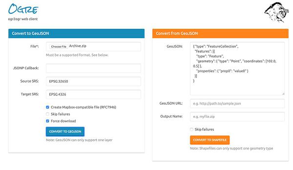
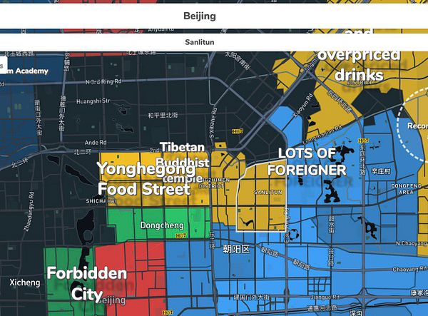
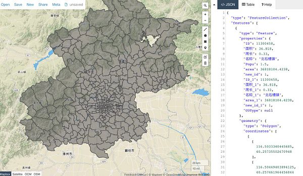
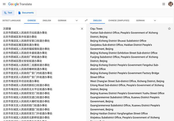
ask Beijing City Lab for all subdistrict names of Beijing for  #hoodmaps and get them, and then I converted the shapefile from ESPG:32650 coord system to lat,lng GeoJSON and then I translated all the Chinese names to English and removed 1000 mentions of "The People's District Office Building Street" etc and cleaned it up
